


Using soccer to promote education and social change.
 Banda Bola Sports Foundation is a tax-exempt nonprofit organization dedicated to transforming the lives of children in rural Malawi, Africa. Our goal is:
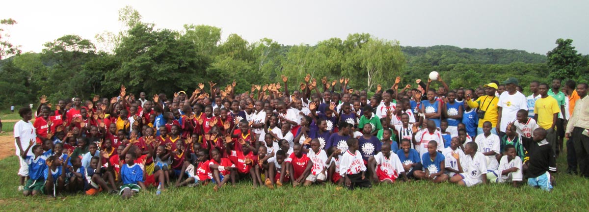
The Foundation already supports over 40 primary schools in the northern region of Malawi. We want to run programs in all 160 schools in the region.
Donations to the Banda Bola Sports Foundation's general fund are the best way to help. You can make a contribution online through FirstGiving using the button below.
To make a donation by check or money order, please download & print our Contribution Form and send with your payment by mail to the following address:
Banda Bola Sports Foundation
P.O. Box 105
Guilderland, NY 12084
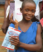
Your financial support makes our programs possible. It helps us acquire and distribute school supplies, pencils, and notebooks in Malawi elementary schools, provide lunch to children attending our afterschool tutorial program, distribute donated sports equipment and offer a snack to participants in our soccer clinics.
You can also visit or link directly to our MyGiving Donation Page.
A proper changing facility is needed at the soccer complex. It is an integral part of our efforts to treat girls and young women with dignity and respect. Give to Buck for a Brick and make this a reality.
You may also donate by mailing a check to the following address:
Buck for a Brick - Banda Bola Sports Foundation
P.O. Box 105
Guilderland, NY 12084
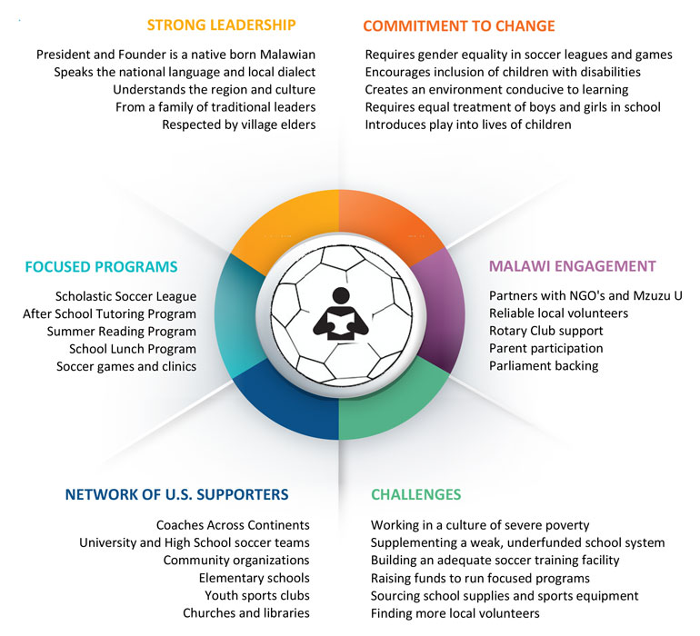
Banda Bola Sports Foundation celebrates a decade of service as a 501 (c)(3) nonprofit organization dedicated to transforming the lives of rural children in Malawi’s Chituka Village region.
You can download the 2009-2019 Progress Report and learn more history on our Timeline.

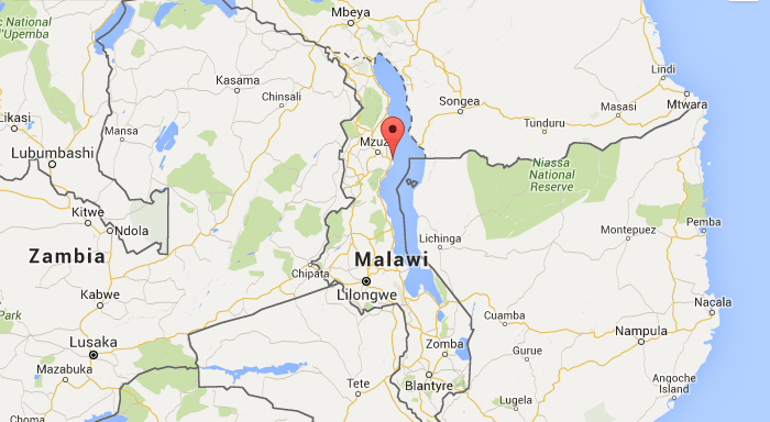
Malawi, officially the Republic of Malawi, is a landlocked country in southeast Africa that was formerly known as Nyasaland. It is bordered by Zambia to the northwest, Tanzania to the northeast, and Mozambique on the east, south and west.
The country is separated from Tanzania and Mozambique by Lake Malawi. Malawi is over 118,000 km2 (45,560 sq mi) with an estimated population of 16,777,547 (July 2013 est.). Its capital is Lilongwe, which is also Malawi's largest city; the second largest is Blantyre and the third is Mzuzu.
The name Malawi comes from the Maravi, an old name of the Nyanja people that inhabit the area. The country is also nicknamed "The Warm Heart of Africa".

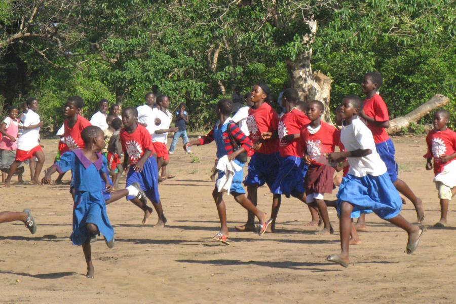
Post Covid-19 restart of school activities for Chituka Village Project - girls and boys playing soccer games....
Interview with Capital Region Today and an update for Chituka Village Project in Malawi 2023
Kalekeni Banda, founder of Bandabola Sports Foundation, is this week’s guest on the Energy Stoners™ Cafe Podcast. He discusses his foundation’s efforts to help the plight of young girls in his native country, Malawi, with their struggle for...
In Malawi, the pandemic resulted in The Chituka Village Project being forced to suspend the after school mentoring programs and sports activities for the children. Some of the major setbacks were the dropout rates of primary school students as well as...


